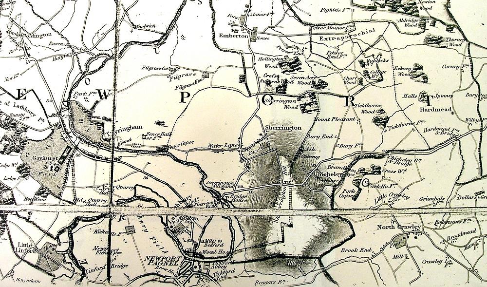
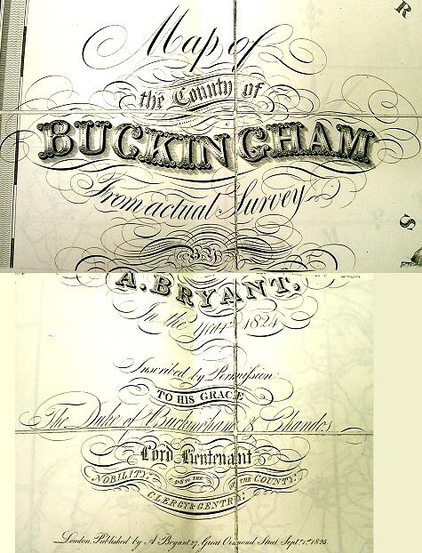
This is a close-up view of Sherington from the 1824 "Map of the County of Buckinghamfrom from actual Survey" published by A Bryant and dated 1st September 1825.

Also available: Close-up of Sherington

This is a close-up view of Sherington from the 1824 "Map of the County of Buckinghamfrom from actual Survey" published by A Bryant and dated 1st September 1825.

