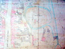
Bury Mount as it appears on the rating map of 1855. The map shows the moat extending right around Bury Mount but it is not in the position it was in when the Mount was first erected.
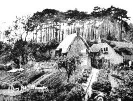
The cottages at Bury Mount in about 1910
Note the steep slope held together by the tree roots. (October 2005).
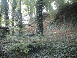
Looking south at the bottom of Bury Mount showing trees, tree roots and slumped earth. (October 2005).
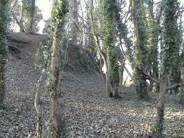
Looking north at the bottom of Bury Mount showing trees, tree roots and slumped earth.(December 2005).
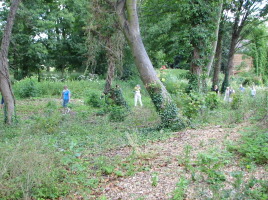
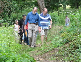
Dog walkers and others frequented the wooded path between the mill stream and Bury Mount. (July 2007).
Bury Mount was used as a natural adventure playground by youngsters (June 2007).
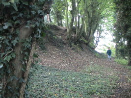
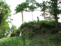
Those who knew where to go could take the old spiral path to the top. (July 2007).
Trees were planted on the top of Bury Mount by the Earl of Pomfret in the middle of the 19th century, probably to make it eye catching from Easton Neston, his house and estate.
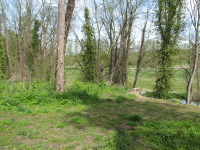
By the year 2000 Bury Mount had become covered in trees, scrub, brambles and nettles. Much of this vegetation was cleared in 2006 to provide access for archaeology, and in 2009 the trees and vegetation were entirely cleared to allow for the reshaping of Bury Mount by the dumping of tons of extra earth.
This page has photographs of Bury Mount before and after the clearance. The left hand column of photographs shows views from the south, the right hand views from the north. Some of the views were taken in winter when the shape of Bury Mount was not obscured by foliage.
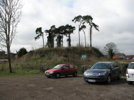
The first phase of tree felling started in August 2006 and left the scotch firs on top of Bury Mount standing. The last of the trees on top of Bury Mount and those at the edges of the area were felled in summer 2009.
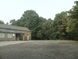
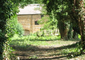
Mill house and tree covered Bury Mount area. (October 2005).
Mill house and leafless trees covered Bury Mount area. (December 2005).
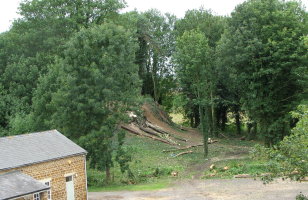
The start of tree felling, viewed from the top of the Mill. (August 2006).
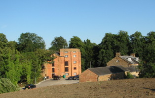
From the north. The red brick mill can just be seen through the trees. (August 2006).
The old mill building viewed through the trees of Bury Mount. (August 2006).
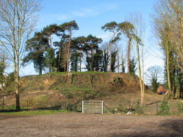
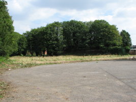
All trees removed except for a few scotch firs on the summit. (March 2007).
View from the mill, even more trees removed. (March 2009).
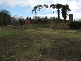
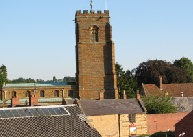
View south. With the trees removed the mill and St.Lawrence Church tower can be seen. (March 2009).
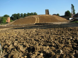
View from the north after reshaping Bury Mount. (August 2009).
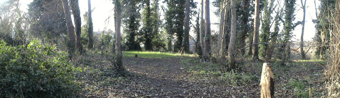
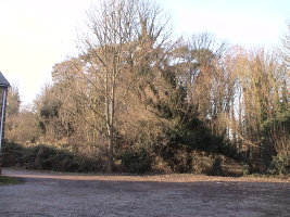
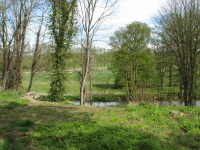
Panorama from the top of Bury Mount. The surrounding buildings and scenery are obscured by the vegetation in spite of the lack of leaves on the trees. The centre of this panorama is in the westerly direction. (December 2005).
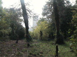
St.Lawrence Church from the top of Bury Mount, obscured by bushes. (October 2005).
St.Lawrence Church, the vicarage, cottages and the beer garden of "The Plough". (August 2009).
The red brick 1920s extension to Towcester Mill and the adjacent stone mill owners house from the summit. (August 2009).
View east from the summit showing the Water Meadows and the Easton Neston estate. (April 2008).
View north east from the summit. Note the row of poplar trees along the banks of the River Tove.(April 2008).
View north from the summit in August 2009.The trees to the right line the course of the mill stream. (September 2009)
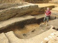
Archaeologist Jim Brown explains the archaeological dig at Bury Mount for the 2007 Heritage Open Days.
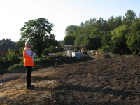
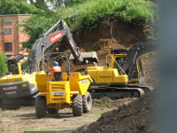
Work on reshaping Bury Mount. (June 2009).
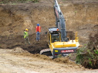
Grubbing up tree roots at Bury Mount. (June 2009).
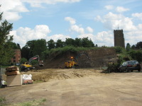
Work on reshaping Bury Mount, from the north. (June 2009).
