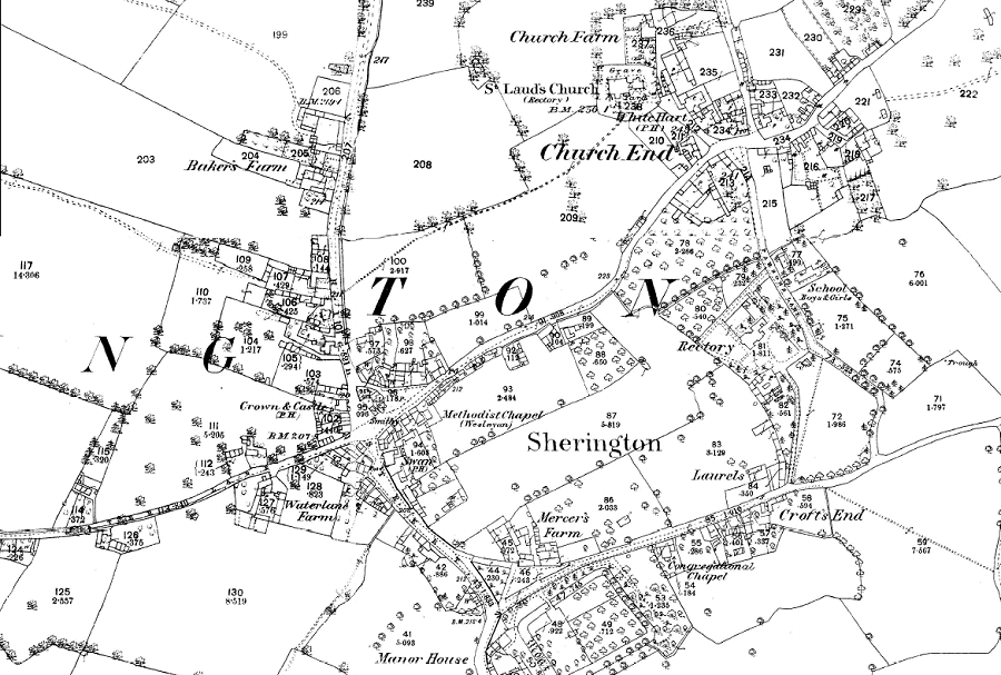
This is from the 25 inch (1:2,500) OS map of 1882.

Other Ordnance Survey maps:
| 25 inch to 1 mile (1:2,500): | 1882 | 1900 | 1925 |
| 6 inch to 1 mile (1:10,560): | 1885 | 1900 | 1926 | 1952 |
This is from the 25 inch (1:2,500) OS map of 1882.

| 25 inch to 1 mile (1:2,500): | 1882 | 1900 | 1925 |
| 6 inch to 1 mile (1:10,560): | 1885 | 1900 | 1926 | 1952 |