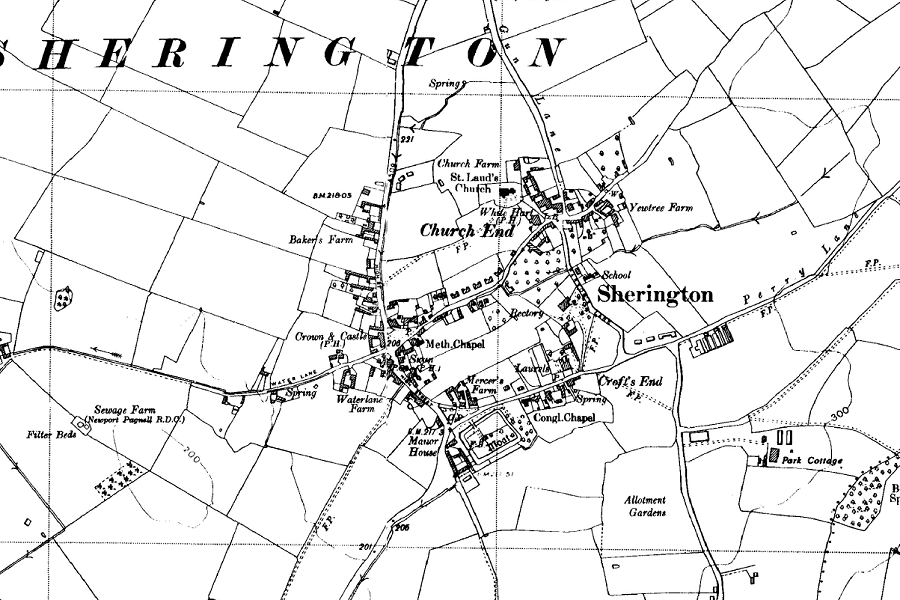
This is from the 6 inch (1:10,560) OS map of 1952.

The Prisoner of War camp is shown on Perry Lane, and there are several new houses at the east end of Crofts End and on the east side of the northern part of the High Street. School Lane is still recorded as Parson's Lane.
Other Ordnance Survey maps:
| 25 inch to 1 mile (1:2,500): | 1882 | 1900 | 1925 |
| 6 inch to 1 mile (1:10,560): | 1885 | 1900 | 1926 | 1952 |