
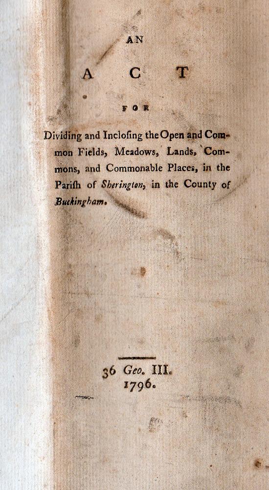
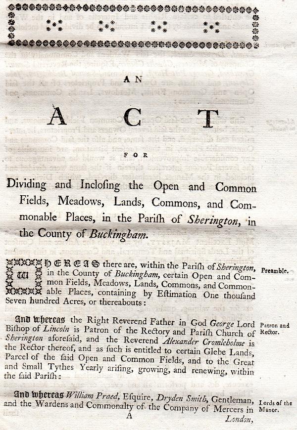
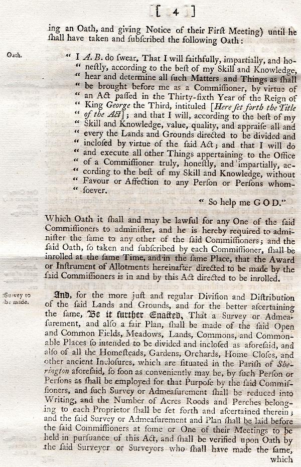
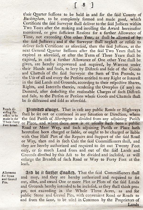
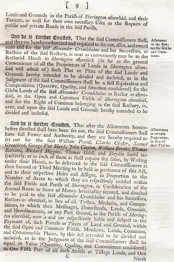
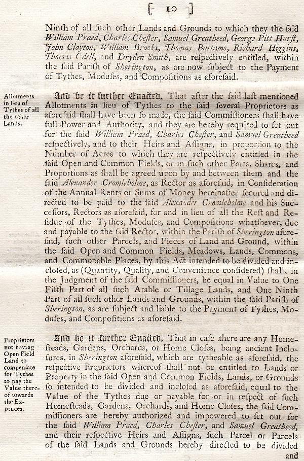
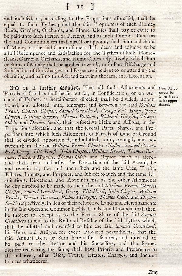
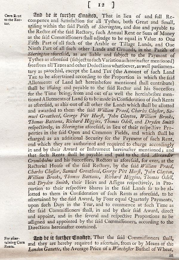
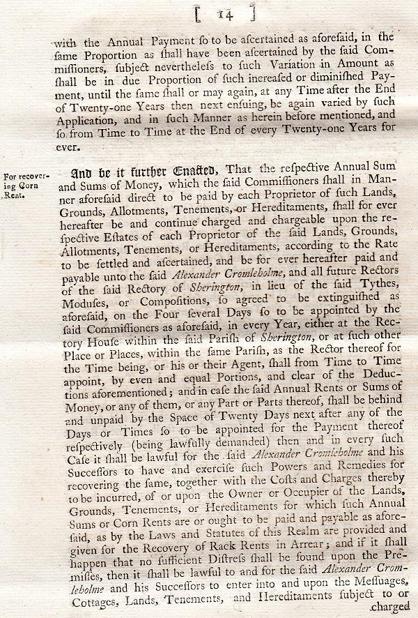
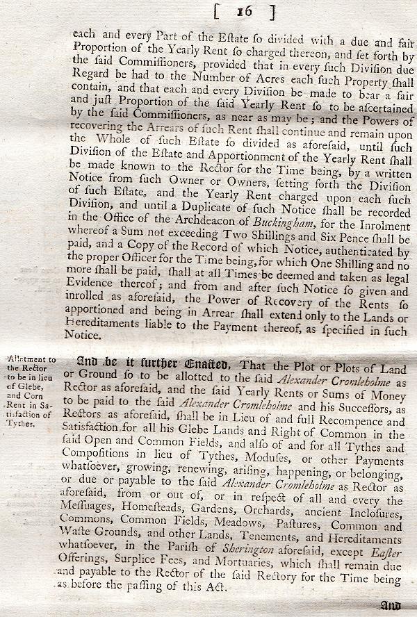
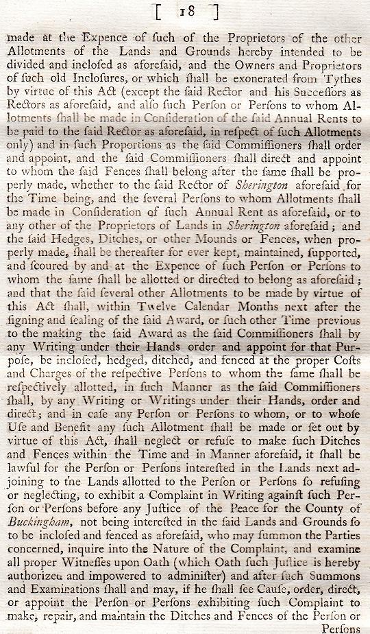
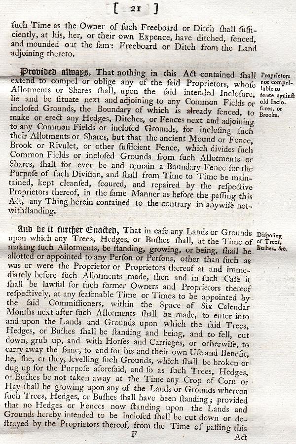
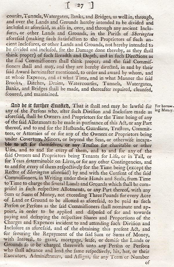
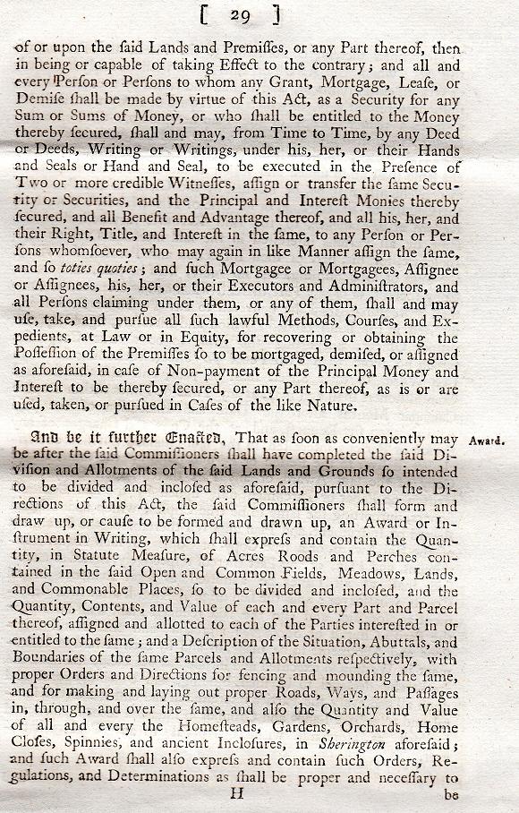
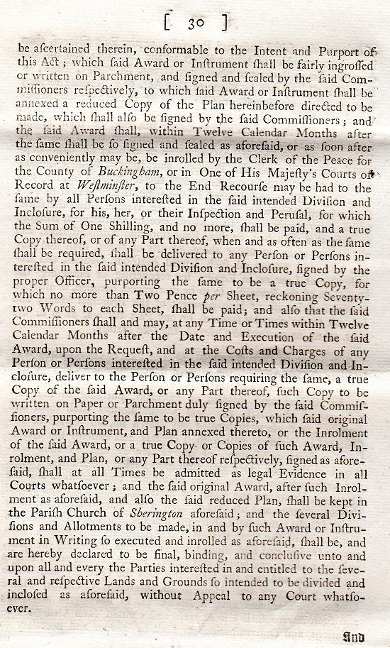
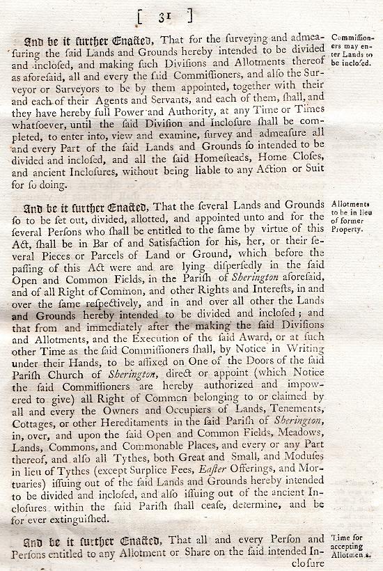
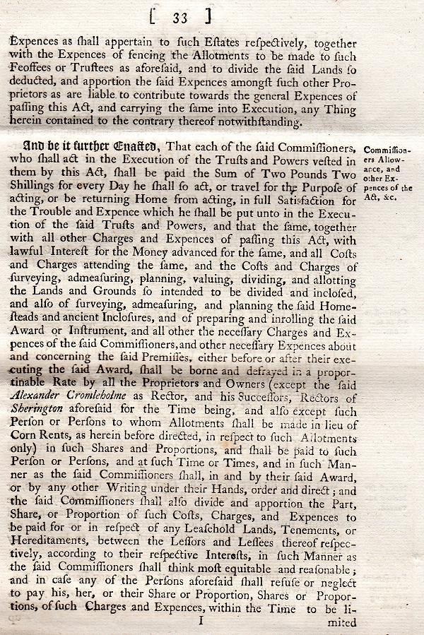
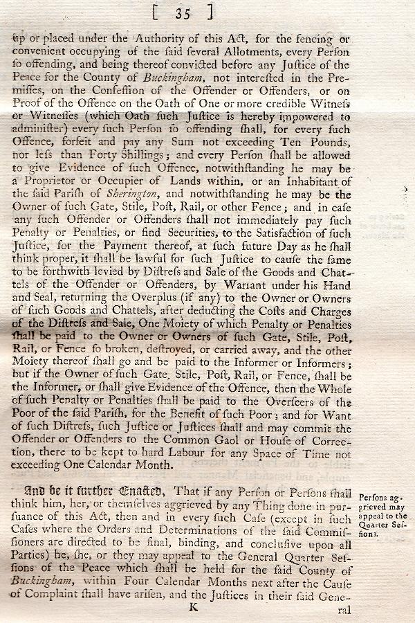
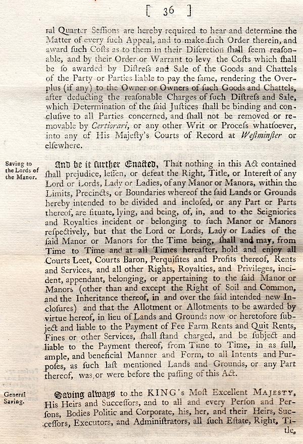
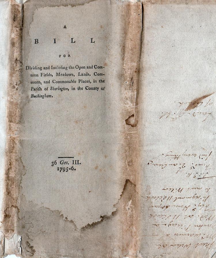
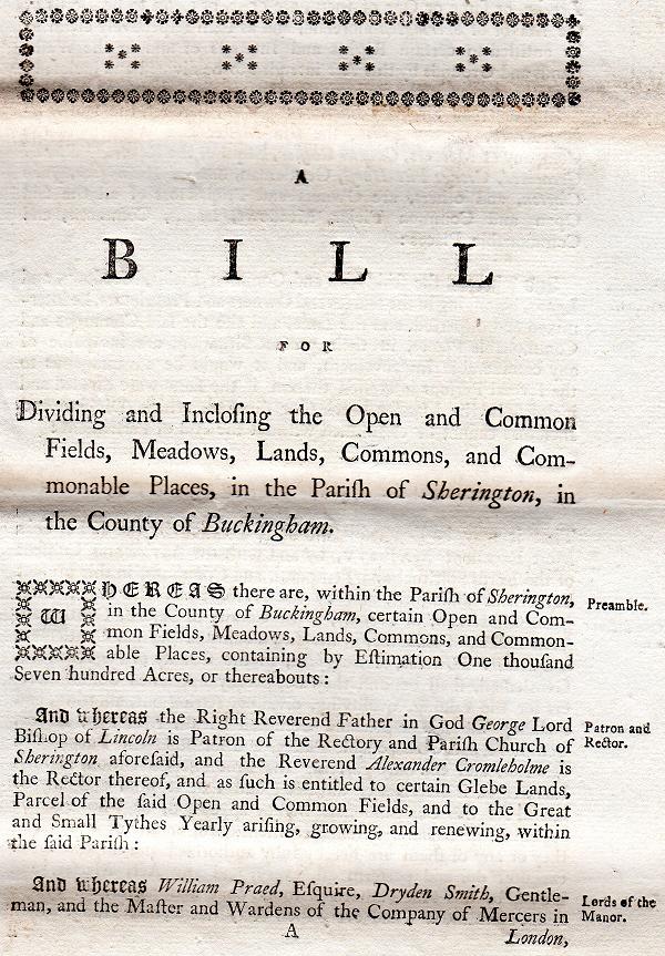
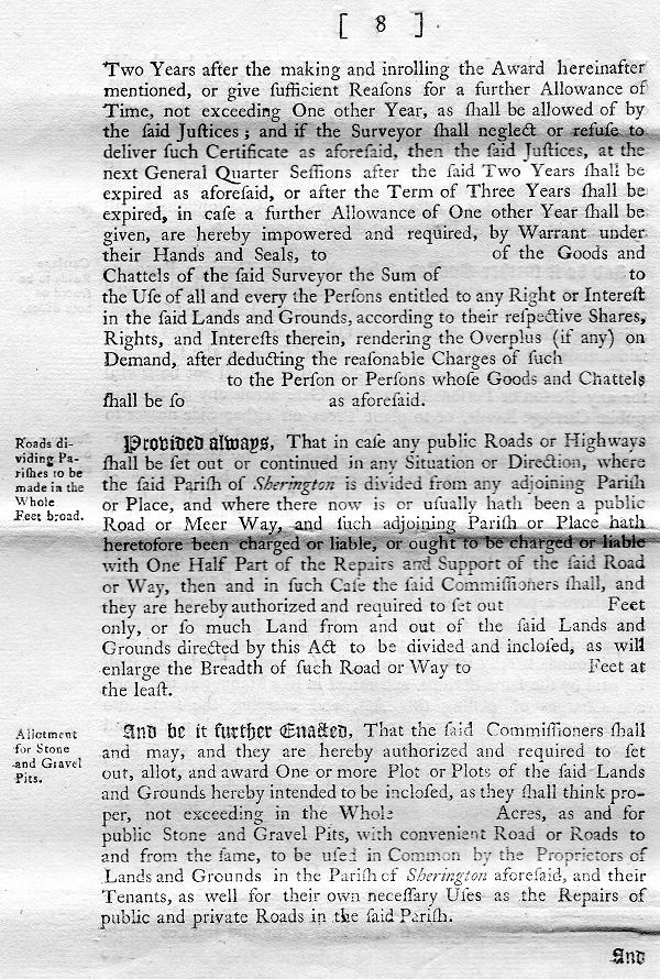
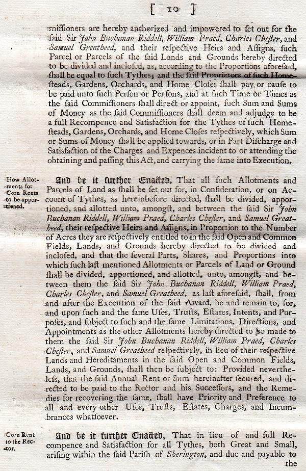
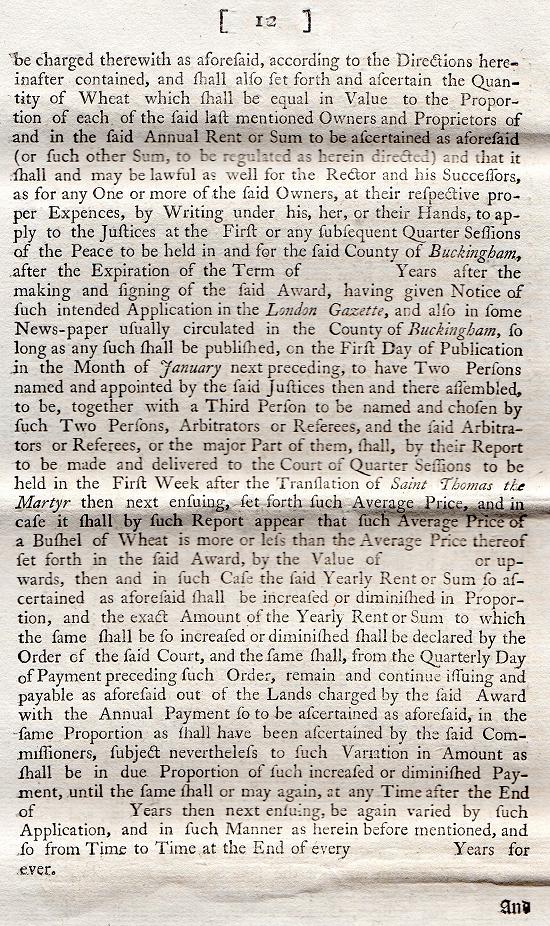
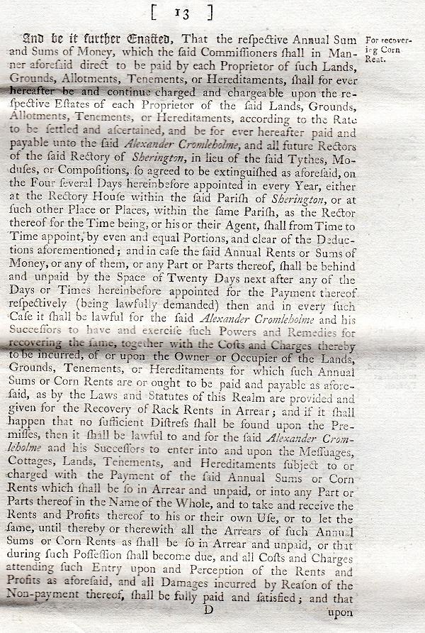
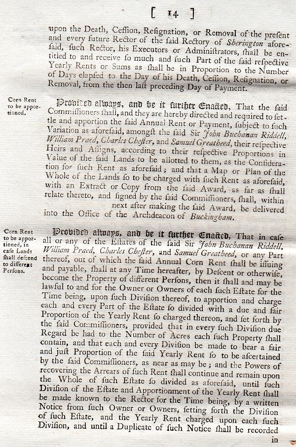
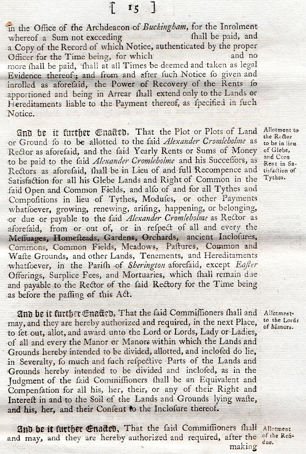
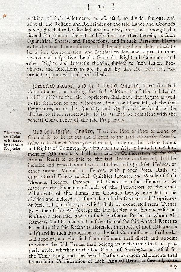
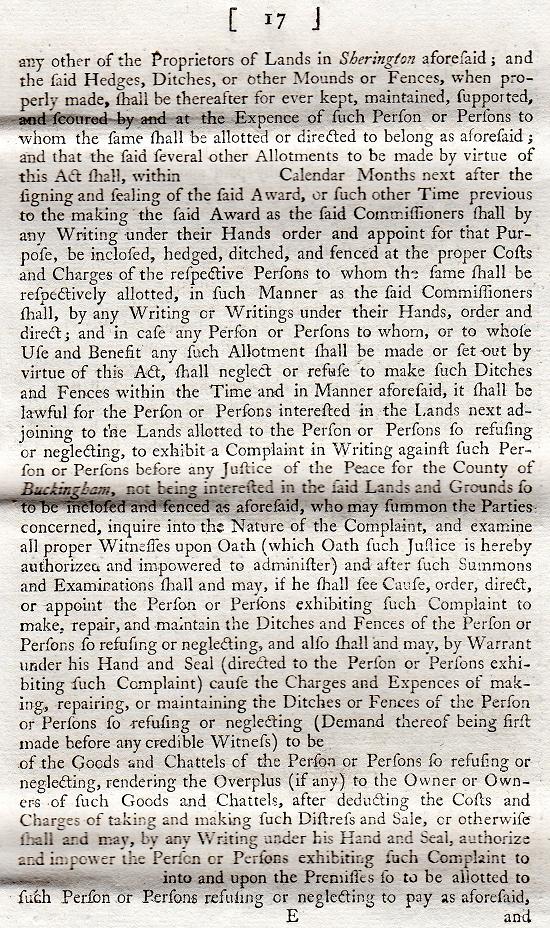
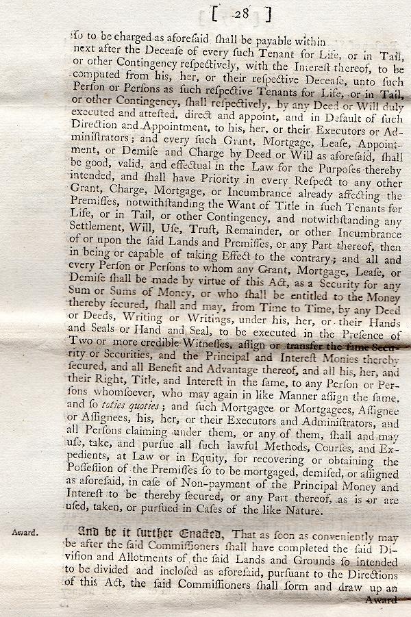
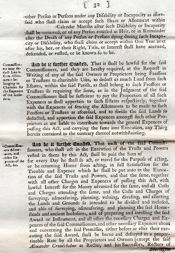
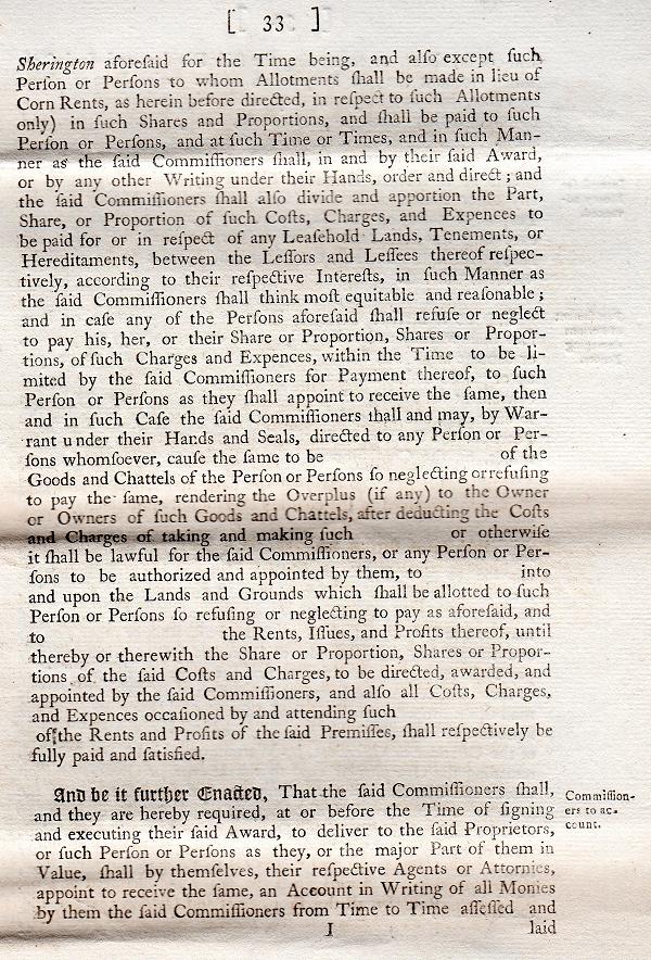
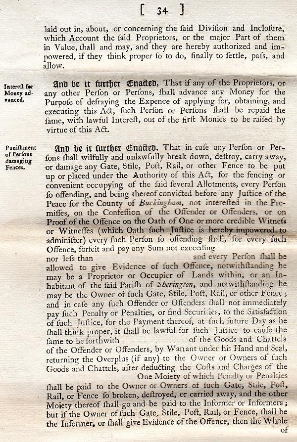
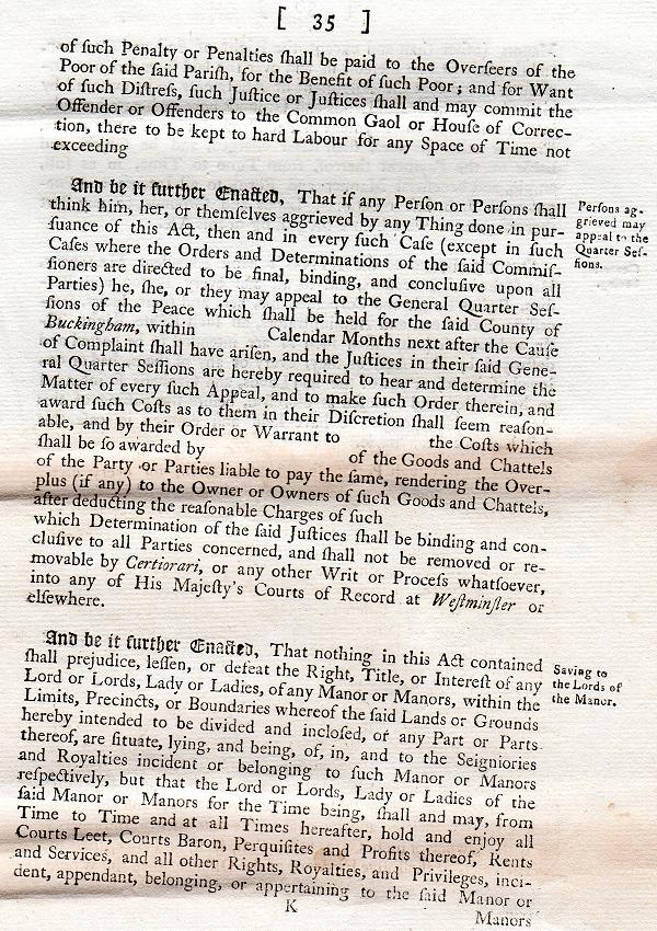
In 1796, an Act of Parliament entitled 'An Act for dividing and inclosing the Open and Common Fields Meadows Lands Commons and Commonable Places in the Parish of Sherington in the County of Buckingham' was passed following an appeal by the principal Sherington proprietors.
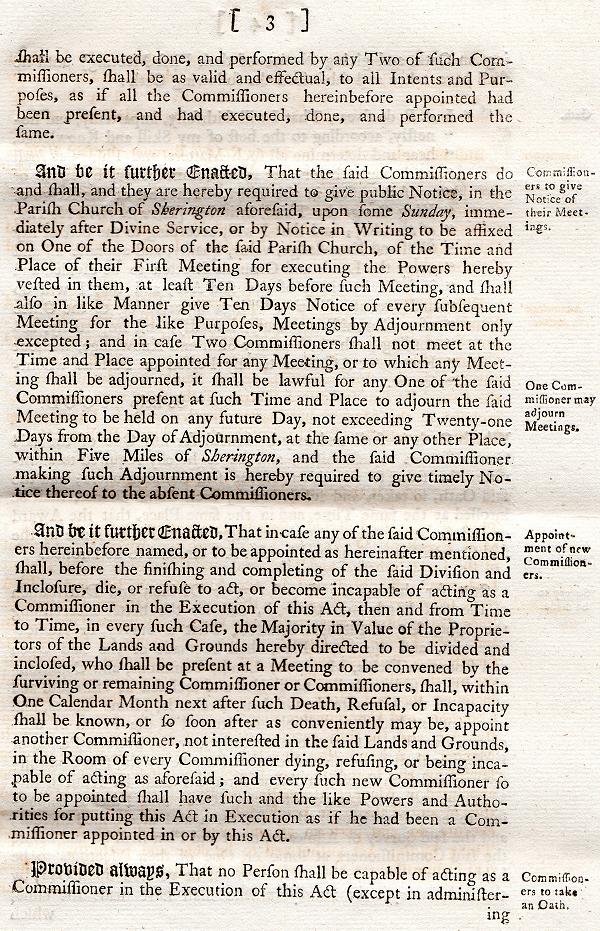
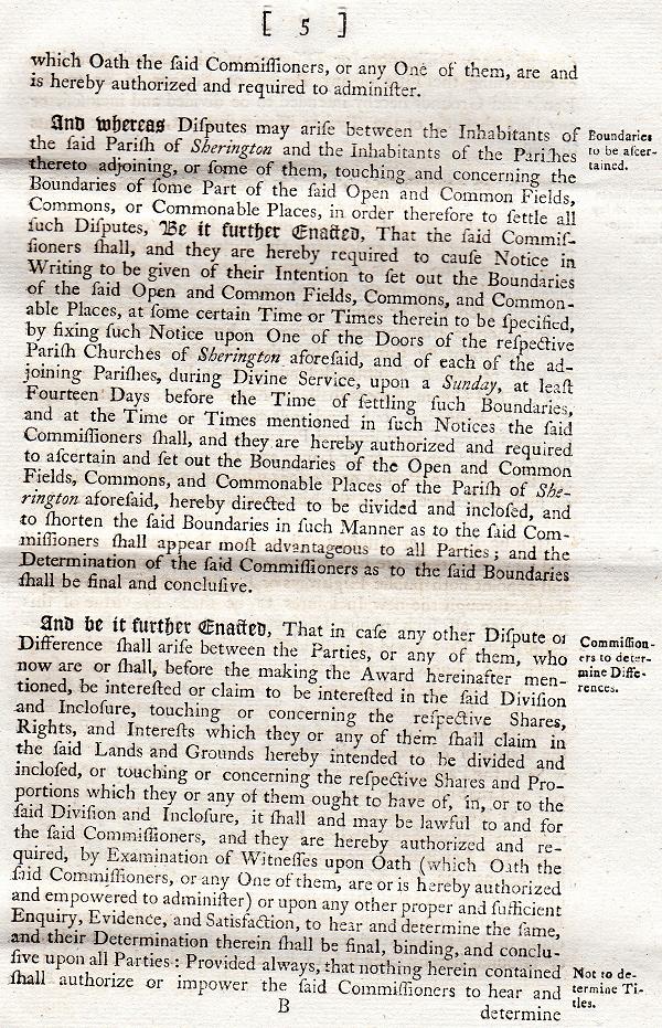
Three Commissioners were appointed: John Chamberlin of Cropedy (Oxfordshire), John Davis of Bloxham (Oxfordshire) and John Fellowes of Foscott (Buckinghamshire). On 4th May 1796 they placed a notice on the main door of St Laud's Church announcing their first meeting, which took place on 17th May at the Swan in Newport Pagnell, where the first two Commissioners were sworn in. John Fellowes took the oath the following day.
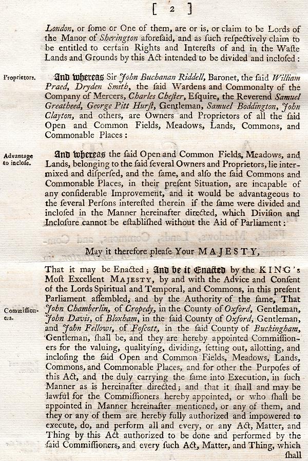
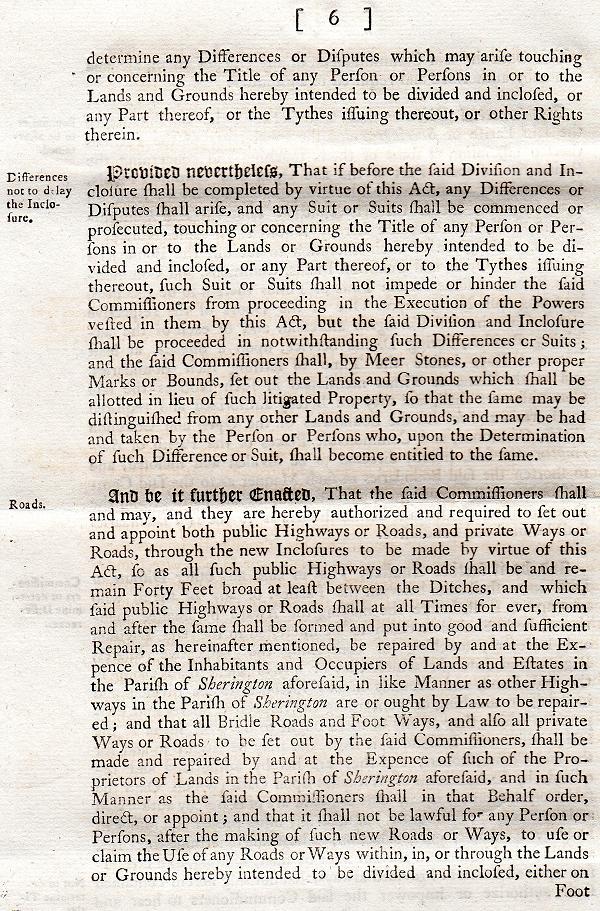
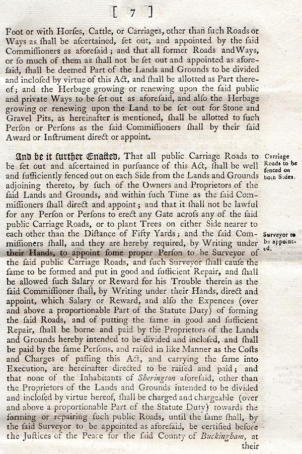
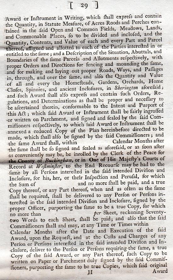
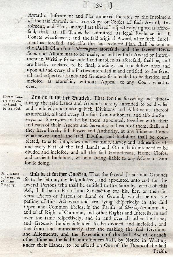
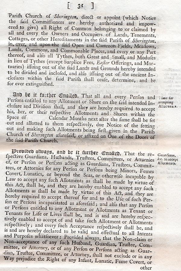
William Collison the Younger and Michael Russell of Brackley (Northamptonshire) were appointed as Land Surveyors to survey the land and prepare a detailed plan of the parish. Notices were also posted requesting those who claimed an interest or rights in the various pieces of land to register those claims in writing. A number of further meetings took place and agreement was subsequently reached by the relevant parties on how the common land should be divided and enclosed. The Enclosure Award was dated 4th July 1797.
SHS has an electronic copy of the Plan and the associated 26 pages of manuscript text. Each plot was numbered and the document records the existing owner (if it was an old enclosure) or the person to whom it was allocated (in the case of the new enclosures), and the land that was exchanged, together with the area and the value. This information is presented here on the following pages:
| Complete Map: | Original | Digitally enhanced |
| Zoom in: | North west | North east | South west | South east | Village |
| Detailed areas: | The Knoll | Church End | Crofts End |
| Table of Names: | Column 1 | Column 2 | Column 3 | Column 4 | Column 5 |
| Name transcript: | Select a letter: A - B - C - D - F - G - H - J - M - O - P - Q - R - S - T - U - W |
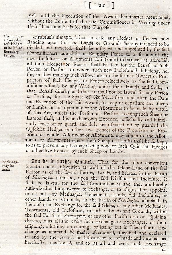
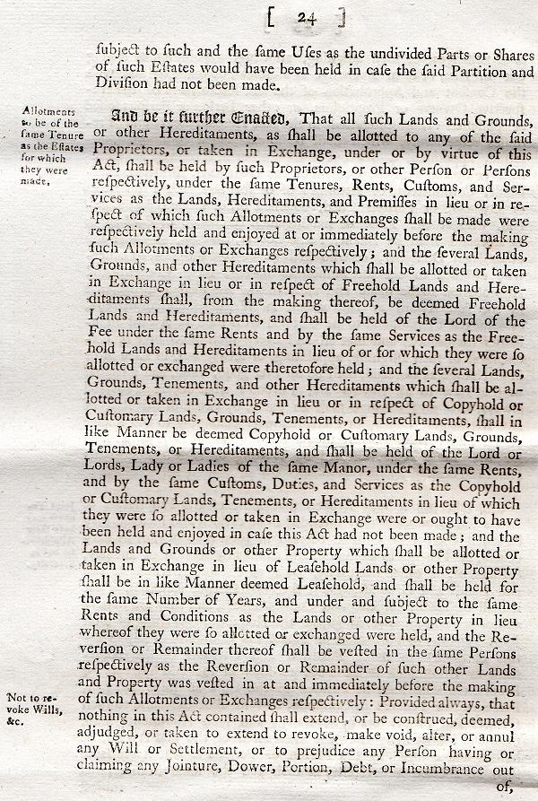
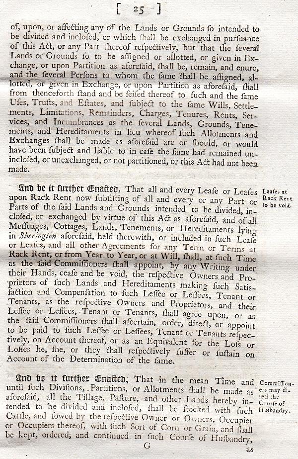
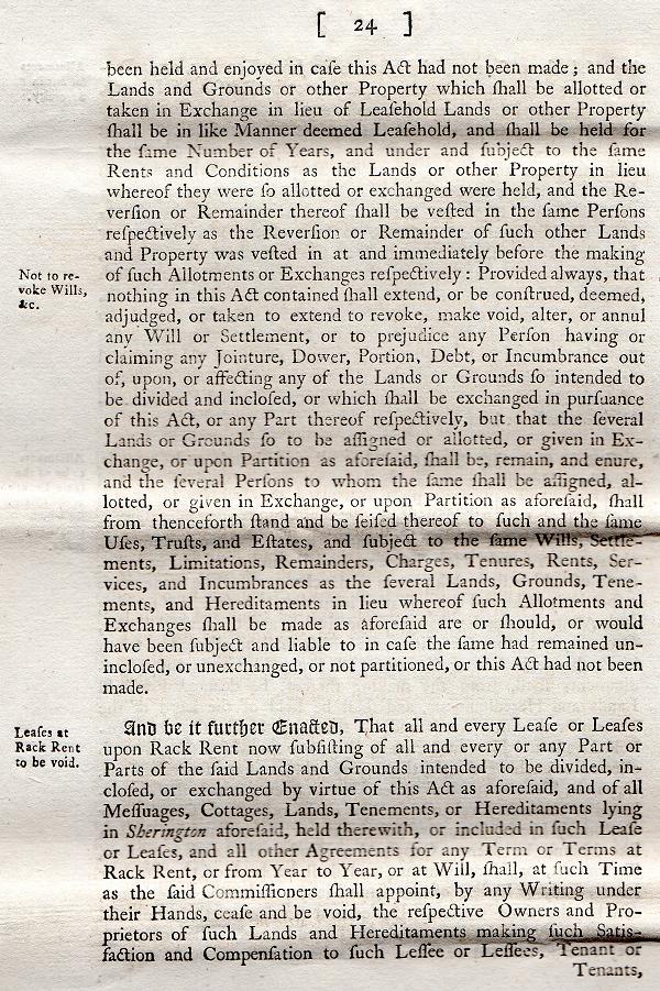
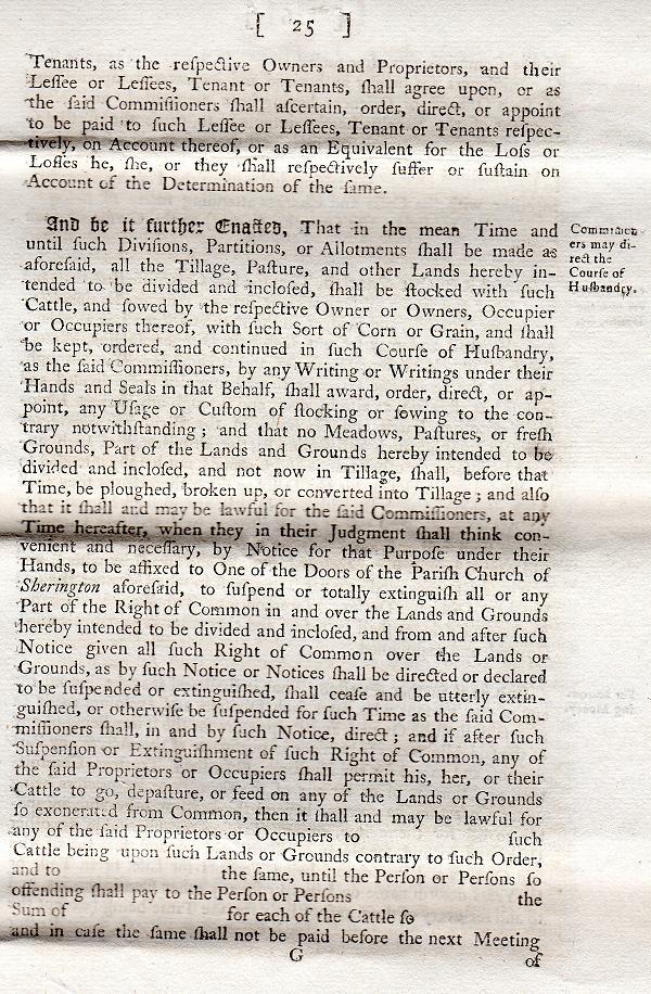
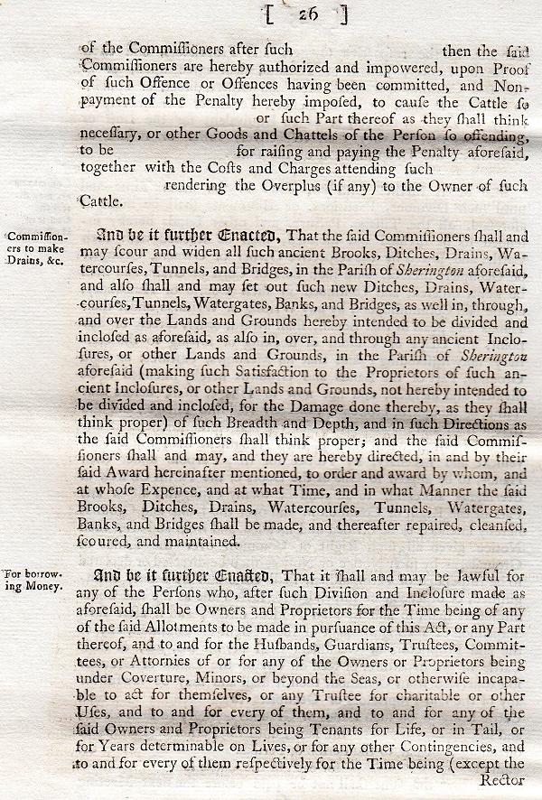
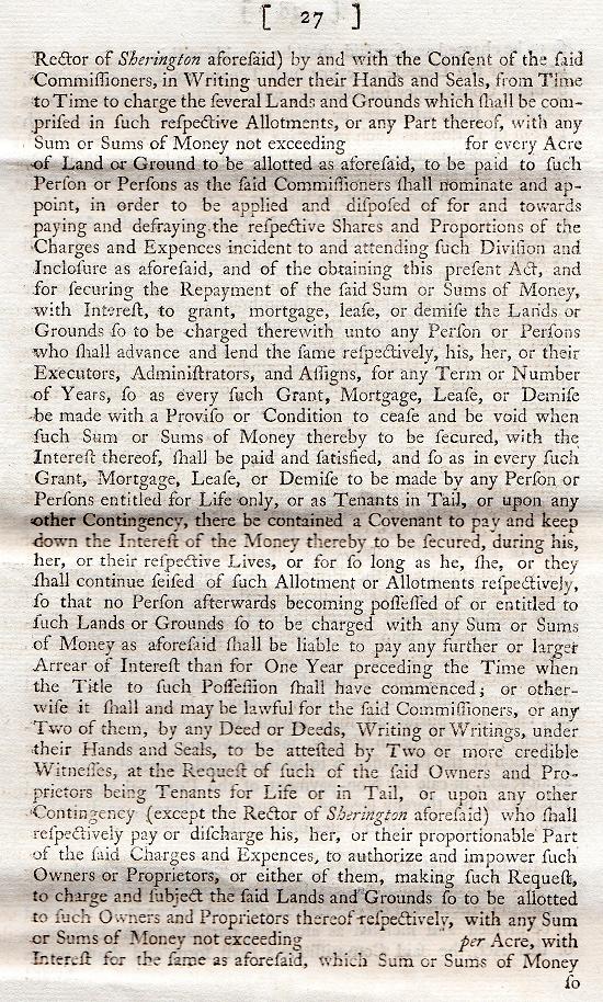
| Associated Text: | Transcript - First 6 and last 2 pages | Typical page - describing 6 of the allotments (Page 23) |
Notes:
1. Plot 229 is missing from the list, although 228 appears twice. It is assumed that the larger of these (Arthur Roe) is in fact 229.
2. Plot 53 appears to be missing from the list. Its location suggests that it was an old inclosure.
3. The total area surveyed is just over 1763 acres. The new enclosures covered 1343 acres, with a further 70 acres of old enclosures that were exchanged. The remaining land consisted of previous enclosures (mainly located in the village itself and to the north east and east) that were retained by existing owners. The roads covered more than 21½ acres, with the Stone Pit being just over 2½ acres.
4. The total value of the land was £2167-15-0½.
5. The north end of the High Street is referred to as Emberton Lane.
6. The road now called Crofts End is referred to as Calves End Lane.
7. What is now Bedford Road is referred to as the Chichley Road, with the road leading east from the road junction near Sherington Bridge being called Bedford Road.
8. Gun Lane is referred to as Winyards Lane within the village itself, and Church End Road outside.
9. Additional information on the tenants has been taken from AC Chibnall's book 'Sherington: Fiefs and Fields of a Buckinghamshire Village'.
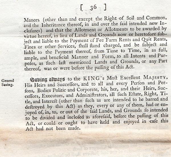
Act of Parliament and Parliamentary Bill - Click the images or page links to view